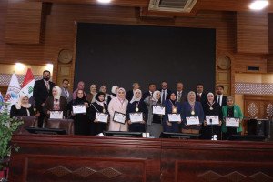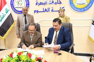
The Department of Geology at the College of Science, University of Basrah, discussed the Ph.D. dissertation of Ghadeer Khaled Jalal, which examined the impact of neotectonic activity on landform development in the Zurbatiyah region, within the tectonically active Low Folded Zone of the Zagros Fold-Thrust Belt. The study aimed to integrate Remote Sensing and GIS techniques with multiple morphotectonic indices to evaluate tectonic activity levels, analyze structural controls on drainage systems, and produce an updated geomorphological map of the area.The results revealed clear evidence of active tectonics resulting from the collision between the Arabian and Eurasian plates. Structural analysis indicated high-density lineaments with dominant NW-SE orientations associated with active faults, such as the Badrah–Amarah fault system. Drainage basins showed significant deformation, with morphotectonic indices confirming moderate to high tectonic activity levels, particularly near major fault zones. Additionally, the study classified geomorphological units into six main categories, including depositional and erosional landforms and structural units such as piedmont plains, alluvial fans, mountain fronts, and fault-influenced zones, reflecting the geomorphic diversity and tectonic control over landscape evolution.The study recommends Extension of the analysis to adjacent regions for comparative tectonic assessment. These measures aim to support sustainable land-use planning, water resource management, and seismic hazard evaluation.

