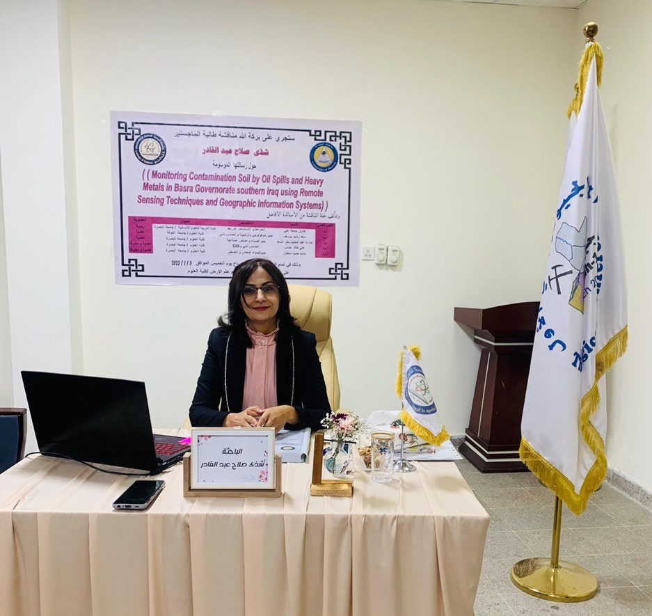

The Department of Geology, College of Science, discussed a Master's thesis entitled (Monitoring Soil Pollution by Oil Spills and Heavy Metals in Basra Governorate - Southern Iraq Using Remote Sensing Techniques and Geographic Information Systems). Researcher Shatha Salah Abdel Qader's thesis aims to use remote sensing techniques and geographic information systems in the process of monitoring the environment and locating hydrocarbon pollution resulting from intentional and accidental oil spills from remote or large areas that are difficult to determine by traditional methods and access to this area.
The study included conducting a field visit to the study sites and collecting samples randomly, then conducting laboratory tests to find out the extent of contamination of the area with hydrocarbons that were due to oil spills, and linking them with remote sensing techniques in monitoring these spills and using an advanced method represented by noise removal, pure pixel method, sub-pixel classification, and gave Successful results in identifying these areas that have been visited and identifying the cause of other polluted areas that have not been visited.
The results revealed the possibility of using remote sensing systems and geographic information (GIS) in monitoring the environment and oil spill areas, and the success of the sub-pixel classification method in classifying the land cover, which is considered an advanced method and the first to be applied locally and has little application globally, and it can be relied upon using remote sensing methods. Developed without the need to visit the site or rely on the regions. can not be accessed.