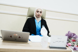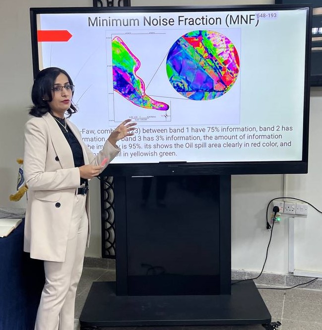
The Department of Geology at the College of Science organized a panel discussion entitled (The use of remote sensing techniques and geographic information systems in monitoring environmental pollution, especially pollution due to oil spills). The seminar, which was lectured by the researcher Shatha Salah Abdel Qader, aims to use remote sensing techniques and geographic information systems in the process of monitoring the environment and locating hydrocarbon pollution resulting from intentional and accidental oil spills from remote or large areas that are difficult to determine by traditional methods and access to this area.
The study included proof of the success of remote sensing systems and geographic information (GIS) in monitoring the environment and oil spill areas, and they can be relied upon using advanced remote sensing methods without the need to visit the site or rely on it in areas that cannot be reached.
The results concluded that relying on remote sensing techniques and the geographic information system in monitoring the environment due to its accuracy in monitoring, especially in hard-to-reach places. And relying on these technologies in the oil companies to reduce the spread of this pollution through continuous monitoring using remote sensing techniques, especially for spills resulting from oil pipelines.