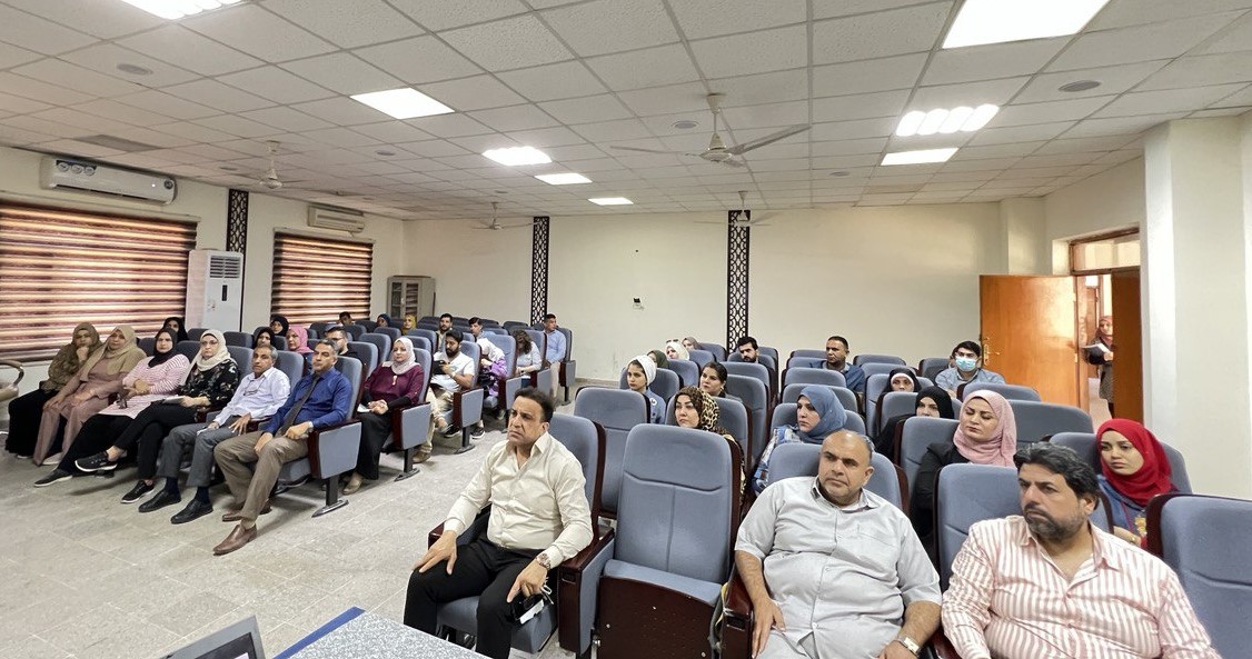

The Department of Geology at the College of Science organized a panel discussion entitled (The stratigraphic map of the Al-Bajali fold in southeastern Iraq using remote sensing and geographic information systems). The seminar, in which researcher Rehab Salem Shallal, lectured, aims to use spectral fingerprints and digital processing of satellite visuals to map the stratigraphic stratigraphy of the Bagelian fold and to prove the effectiveness of remote sensing and geographic information systems as one of the most important advanced scientific methods in identifying rock units and structural forms to create a digital database.
The study included the use of Landsat-9 satellite imagery for the purpose of digital processing of satellite images and the use of proportional visualization to determine the rocky units of the fold.
The results reached to draw a geological map of the Bagliah fold, where the core of the fold represents the Anjana formation, surrounded by the Muqdadiyah formation and covered with sediments of the Quaternary age. As for the Bay Hassan formation, it did not appear in the fold as it was completely stripped.


.jpeg)
.jpeg)


