.jpeg)
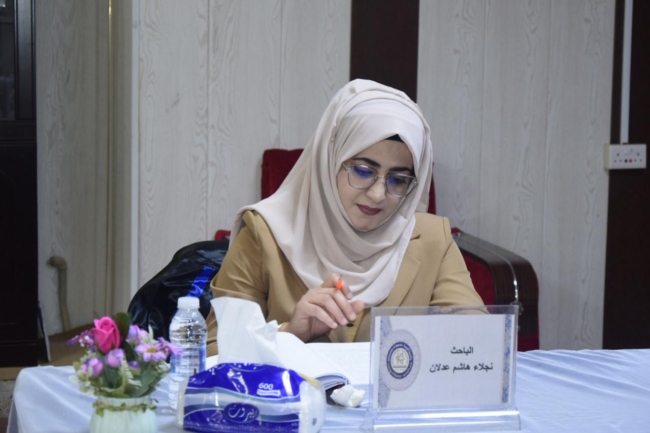
discussed a doctoral thesis in the Department of Biology - College of Science at the University of Basra (Environmental study of aquatic plants and water quality in Shatt Al-Arab River by applying Geographical Information Systems (GIS). The thesis of the student (Najlaa Hashim Adlan) included measuring the physical and chemical properties of water and sediments monthly and for several stations in the Shatt Al-Arab and a survey of aquatic plants along the course of the Shatt Al-Arab River and recording their seasonal presence in the study areas and measuring the concentration of nutrients in them And finding the relationship between environmental variables and the presence of aquatic plants in the Shatt Al-Arab River, and concluded that aquatic plants are among the most important regulators of the aquatic environment, and contribute to restoring degraded aquatic environments, which supports the return of biological diversity, and that periods of rising water levels in the winter and spring months are among the most important environmental factors related to mass change .The living forms of the studied plants because this factor is the main driver of changes in the aquatic systems, noting the deterioration of some The plant species present in the study areas and the disappearance of some of those species, due to the deterioration of water quality and the decrease in its levels, as well as the effect of the salt coming from the Arabian Gulf, which led to a rise in the concentration of salts in the waters of the Shatt Al-Arab River and exceeding the permissible limits for irrigation and drinking animals.
The trophic state index (TSI) values increased in most of the studied stations as a result of the direct discharge of sewage, agricultural and industrial water into the Shatt Al-Arab River, and the values of calcium, magnesium, hardness and phosphate exceeded the permissible values for Iraqi raw water. The results also showed that GIS is a good and effective technique for assessing water quality. Shatt Al-Arab River, as a result of the high response of the GIS to every temporal and spatial change in water quality and the distribution of aquatic plants. The study recommended the establishment of sewage treatment plants before it is introduced, raising awareness and activating environmental laws, and the competent authorities to conclude agreements to provide Iraq with a sufficient water share, as well as the use of aquatic plants as environmental guides to know environmental changes in river water and by applying geographic information systems in research studies as it is a good technique to know environmental changes temporal and spatial.. The study recommended the establishment of sewage treatment plants before it is introduced, raising awareness and activating environmental laws, and the competent authorities to conclude agreements to provide Iraq with an adequate water share, as well as the use of aquatic plants as environmental guides to know environmental changes in river water and applying of geographic information systems in research studies as a good technique for knowing the temporal and spatial environmental changes.


.jpeg)

