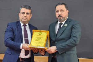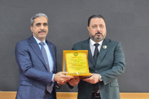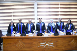
The College of Science at the University of Basra organized a panel discussion on the possibility of applying geographic information systems (GIS) and spatial analysis techniques to describe some properties of water, sediments and aquatic plants in the Shatt al-Arab River, southern Iraq. For graduate student (Phd) in the Department of Biology, Naglaa Hashim Adlan. The study aims to measure the physical and chemical properties of water and sediments on a monthly basis for several stations in the Shatt al-Arab, a survey of aquatic plants along the course of the Shatt al-Arab, recording their seasonal presence in the study areas, measuring the concentration of nutrients in them, and finding the relationship between environmental variables and the presence of aquatic plants in the Shatt al-Arab River. application of geographic information systems (GIS) and spatial analysis techniques to describe some characteristics of water, sediments and aquatic plants in the Shatt al-Arab. The study recommended the establishment of sewage treatment plants before it is introduced, raising awareness and activating environmental laws, and the competent authorities to conclude agreements to provide Iraq with a sufficient water share, as well as the use of aquatic plants as environmental guides to know environmental changes in river water and the use of geographic information systems in research studies as it is a good technique to know environmental changes temporal and spatial.

