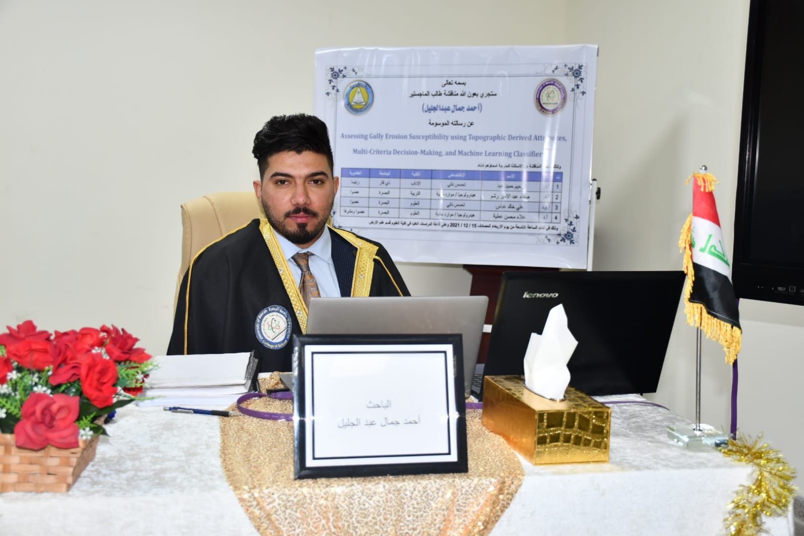
A Master thesis titled Assessing gully erosion susceptibility using topographic derived attributes, multi-criteria decision-making, and machine learning classifiers was defended at College of Science, Department of Geology for the postgraduate Candidate Ahmed Jamal Abdul-Jaleel. The aim of the thesis is Mapping the groove erosion map of the area and knowing the places most exposed to erosion so that it can be protected in the future. Answer the following question: Can groove erosion maps be mapped using only factors that can be derived from digital height models? Comparison of knowledge-driven model models and data- driven model models for mapping groove erosion and more efficient selection for this purpose.
Important News


viewed most