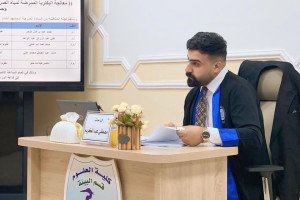
The Department of geoscience at the college of Science, University of Basra organized a workshop entitled geological mapping using the Arc GIS technology . The workshop included two theoretical and practical axes, where the basics of geographic information systems and the coordinate system were explained, which is very important in mapping in various types, and also included a review of a number of free sites for downloading data, represented by aerial photographs and space visuals, to teach graduate students how to download important data in their research field.The workshop lasts for three days.

.jpeg)
.jpeg)

