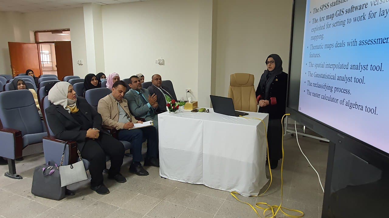
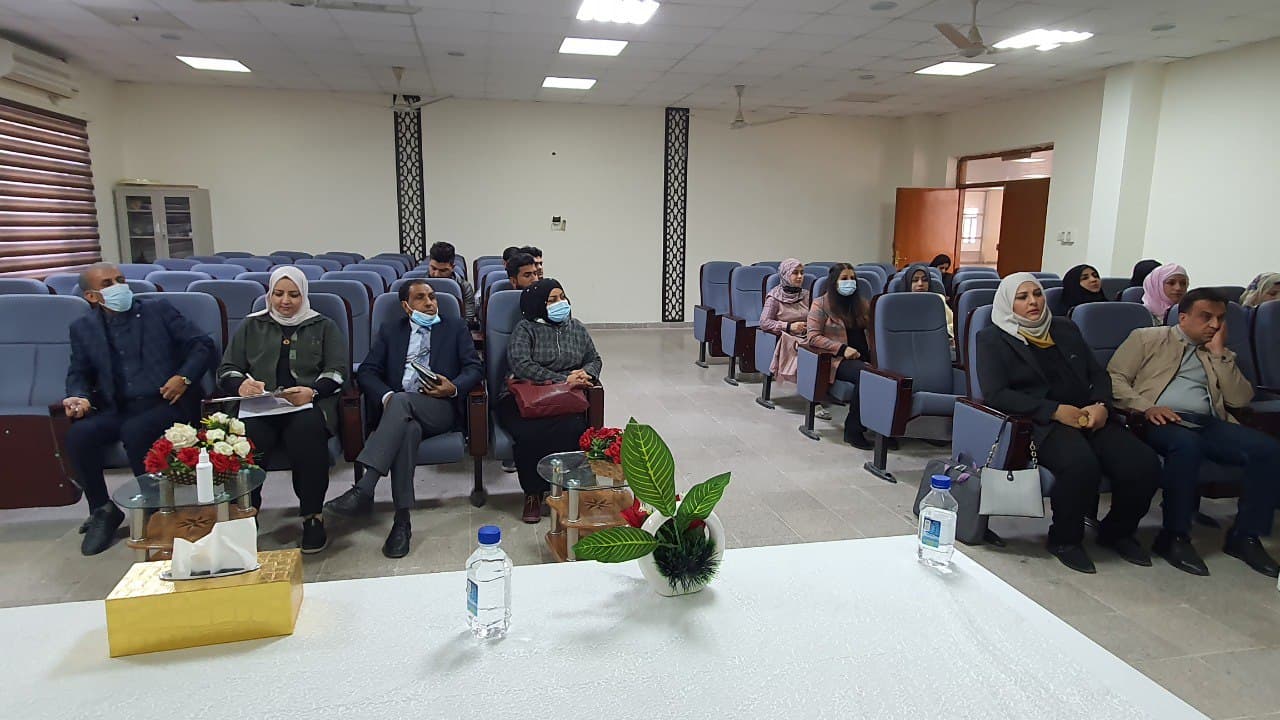
A seminar entitled (The integrated between field work and GIS technique to identify the saline water intrusion phenomena in Dibdibba aquifer, South of Iraq). Hold at the College of Science, Geology Department. The presenter Lamees Salim Abdul Hussein demonstrates the most important objectives: It aims to evaluate the vulnerable aquifer according to hazard degree categories to seawater intrusion, to estimate the percentage of intrusion impact on aquifer through the delimitation of mapping and modeling by GALDIT-GIS analysis of the areas of Khor Al-Zubair, Umm Qasr and Safwan., to participate in an active way in the advancement of water resources and management of water in the futuristic periods, to developed the environmental monitoring and remediation aspects by using modeling programs to assess the transport of salts to fresh water in coastal areas.
Important News


viewed most