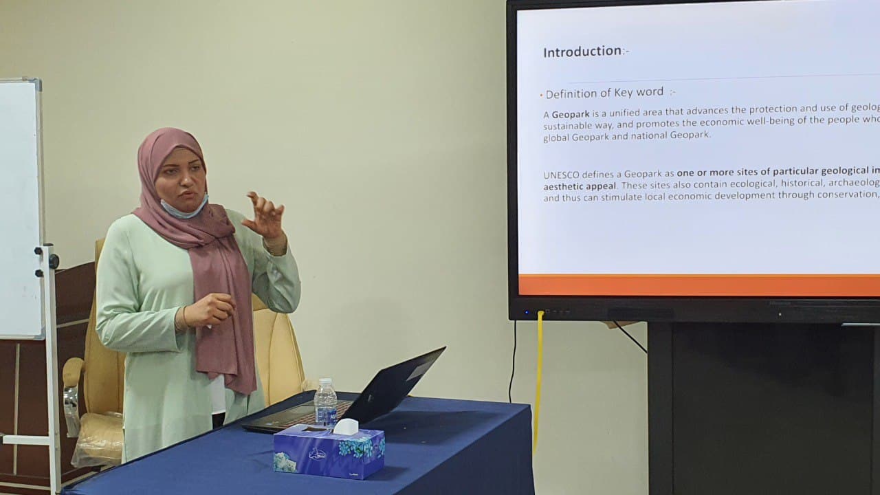

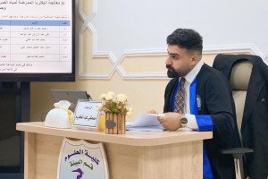
A seminar entitled (Using Remote Sensing Data and Engineering geological model to complete Landscape classification and Geopark site in Eastrain missan area). Hold at the College of Science, Geology Department. The presenter Maser Mahmood kalaf demonstrates the most important objectives of Landscape classification and choose suitable area to be geological park, this study content number of steps the first is represent data collection. Second step analysis and interoperation and the third step is field work survey.

.jpeg)
.jpeg)

